GIS Data Download Center provided by the Town of Madison, CT

THE DATA AND ANY RELATED MATERIALS CONTAINED THEREIN ARE PROVIDED "AS IS," WITHOUT WARRANTY OF ANY KIND, EITHER EXPRESS OR IMPLIED, INCLUDING, BUT NOT LIMITED TO, THE IMPLIED WARRANTIES OF MERCHANTABILITY, FITNESS FOR A PARTICULAR PURPOSE, NONINTERFERENCE, SYSTEM INTEGRATION, OR NONINFRINGEMENT. THE ENTIRE RISK OF USE OF THE DATA SHALL BE WITH THE USER.

Feature Name
GIS File Type
Download
Assessor Data
Madison's Parcel Shapefile
Requires the permission from the Town of Madison.
Public Works and Engineering
Madison's georeferenced DFIRMs Shapefile
updated: XXXXX
2 MB
External Public GIS and Informational websites
UCONN Map and Geographic Information Center

Availiable data:

Aerial Photography, Education & Outreach, Maps and Mash-ups, GIS data...

* Go to Website *

Center for Land Use Education & Research

Availiable data:

Aerial Photography, LIDAR, Watershed Maps, Land Cover, Riparian Cooridors...

* Go to Website *

CT Department of Environmental Protection

Availiable data:

Aerial Photography, Geology, Politcal Boundaries, Elevation Data, Bathymetry...
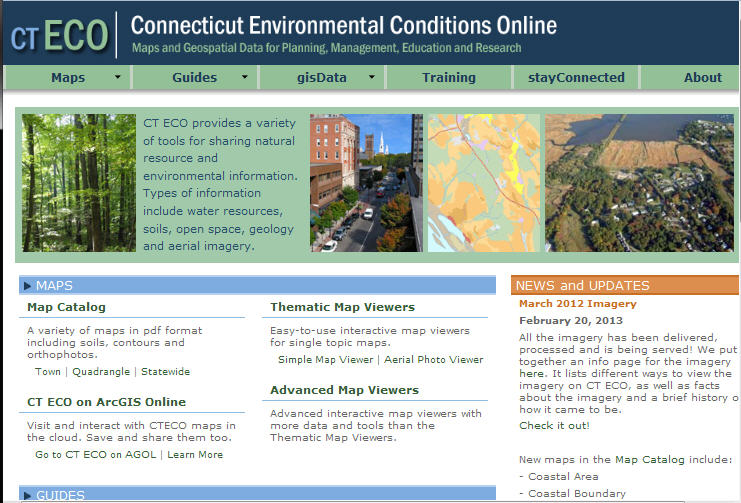
* Go to Website *

Connecticut Environmental Conditions Online

Availiable:

Maps and Geospatial Data for Planning, Management, Education and Research...

* Go to Website *

Long Island Sound Resource Center

Availiable:

A Connecticut Department of Energy & Environmental Protection and University of Connecticut Partnership...

* Go to Website *

Connecticut State Library

Availiable:

Preserving the Past, Informing the future...

* Go to Website *