Map Gallery

Information found within should not be used for making financial or other commitments. The Town of Coventry provides this information with the understanding that it is not guaranteed to be accurate, correct, current, or complete and conclusions drawn from such information are the responsibility of the user. While every reasonable effort has been made to ensure the accuracy, correctness, and timeliness of the maps presented, The Town of Coventry assumes no responsibility for errors or omissions.

Map Name | Description
Quick View
Download
Municipal Maps
Maps Coming Soon
External Public GIS and Informational websites
UCONN Map and Geographic Information Center

Availiable data:

Aerial Photography, Education & Outreach, Maps and Mash-ups, GIS data...

* Go to Website *

Center for Land Use Education & Research

Availiable data:

Aerial Photography, LIDAR, Watershed Maps, Land Cover, Riparian Cooridors...

* Go to Website *

CT Department of Environmental Protection

Availiable data:

Aerial Photography, Geology, Politcal Boundaries, Elevation Data, Bathymetry...

* Go to Website *

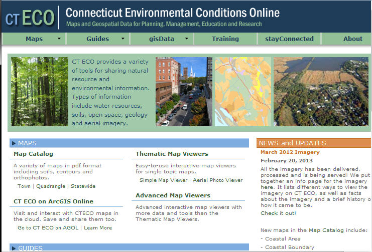
Connecticut Environmental Conditions Online

Availiable:

Maps and Geospatial Data for Planning, Management, Education and Research...

* Go to Website *

Long Island Sound Resource Center

Availiable:

A Connecticut Department of Energy & Environmental Protection and University of Connecticut Partnership...

* Go to Website *

Connecticut State Library

Availiable:

Preserving the Past, Informing the future...

* Go to Website *